
Fort Collins Block Sources at a Glance
A Fort Collins neighbor lookup is a layered block check. Larimer County Land Information GIS and City FCMaps show geography. The Assessor supplies parcel-linked property data. Recorder entries add recorded ownership history. Voter data can show public fields only through the state's permitted routes, and city neighborhood programs offer contacts without publishing a private member list.
| Source | What It Shows About a Block | Access |
|---|---|---|
| Larimer Land Information GIS | Adjacent parcels, addresses, lots, blocks, dimensions, districts, flood and HOA geography | Public viewer and map tools |
| City FCMaps | City parcels, parcel addresses, annexations, neighborhoods, city limits, precincts, districts, and zoning | Public city map layers |
| Larimer Assessor | Owner, account, parcel, situs, mailing, value, tax, and property fields | Online search; first 500 results |
| Larimer Recorder | Recorded owners, deeds, liens, easements, and legal descriptions | Online 1971-present; older books in office |
| Colorado voter data | Permitted public name, address, party, status, and other fields in an eligible file | Self-check or formal request rules |
| Directories and newspapers | Historic occupants, subscribers, businesses, notices, and community references | History Connection, library, and archives |
| Neighborhood programs | Neighborhood names, program contacts, meetings, and participation routes | City contact pages, not member rosters |
A parcel is a geography fact. An owner record is a recorded property relationship. Neither proves that every household member or current occupant is a neighbor. Keep the source date and the parcel number beside each result.
Map the Fort Collins Block by Parcel
Start with one known address in the Larimer Land Information GIS viewer. Use Identify on the target, preserve the parcel and legal fields, then pan and click each polygon sharing a boundary or sitting across the street. There is no hidden neighbor query. The block is assembled one parcel at a time.
- Locate the address and record the parcel number, account, situs, subdivision, lot or block, and legal description.
- Turn on parcels, addresses, platted lots and blocks, recorded dimensions, tax districts, and city or county limits.
- Click each nearby parcel and save its parcel number before opening the Assessor.
- Check whether a polygon is a street right-of-way, alley, flood area, open space, condo unit, or another municipality.
- Use the Fort Collins street directory only when the question expands from the immediate block to a whole named street.
Identify is more reliable than a map label alone. The county's documented tools include Initial View, Bookmarks, Previous Extent, Print, Export, and Share, although the current viewer interface can change.
FCMaps Gives Fort Collins a Second Layer
Larimer Land Information GIS and City FCMaps overlap on parcels, but they serve different questions. The county viewer is built for parcel, address, subdivision, recorded-dimension, sales, tax, flood, and service geography. FCMaps adds municipal layers such as Parcel Addresses, Annexations, Neighborhoods, City Limits, County Precinct, Council Districts, zoning, and city permit context.
The change is timely. Fort Collins' legacy HTML5 viewer was deprecated on June 11, 2026, and the city directs users to the current FCMaps ArcGIS experience. Keep the map source and date with a block note. A city layer can explain municipal placement, but it does not turn a neighborhood polygon into a member directory.
Search Each Fort Collins Parcel
After the GIS pass, open the Larimer Assessor property search one parcel at a time. A parcel or account number is safer than a name alone. The result can show owner name, occupancy description, situs address, ZIP, tax district, actual value, subdivision, legal text, and map links. A broad address or ZIP query stops at the first 500 results, so the block method should narrow the search before it begins.
Carry five fields forward: parcel and account identifiers, the physical situs address, owner name, mailing address, and subdivision or legal text. Owner Location data join owner and situs fields, but no assessor result proves that the owner or every household member is physically present.
Recorded Fort Collins Ownership Around the Block
For a deed or easement question, carry each parcel's legal description or reception number into Landmark Web. Search by name, legal text, reception number, book and page, document type, or record date. The index reaches 1971-present online. Pre-1971 grantor-grantee books are at the Recording Department, 200 W Oak Street, first floor, where public viewing stations provide an in-person fallback.
Search data is free. Watermarked images require a free account, and unwatermarked downloads require payment. Regular copies, certified copies, mail requests, and phone requests remain available through the Clerk & Recorder when a reception or CFN number is supplied. A recorded deed adds ownership history, not a current neighbor roster.
Fort Collins Voter Data Visibility
The Colorado Secretary of State voter-data guidance distinguishes public fields from protected ones. A permitted file may contain full name, residential address, party affiliation and date, status, registration date, birth year, optional phone or gender, and prior election participation. Month and day of birth, driver-license number, Social Security number, signature, and email are confidential. Ballot choices are not a voter-file field.
The Colorado voter-registration data guidance is the source for the public and confidential field split used in a Fort Collins neighbors lookup.
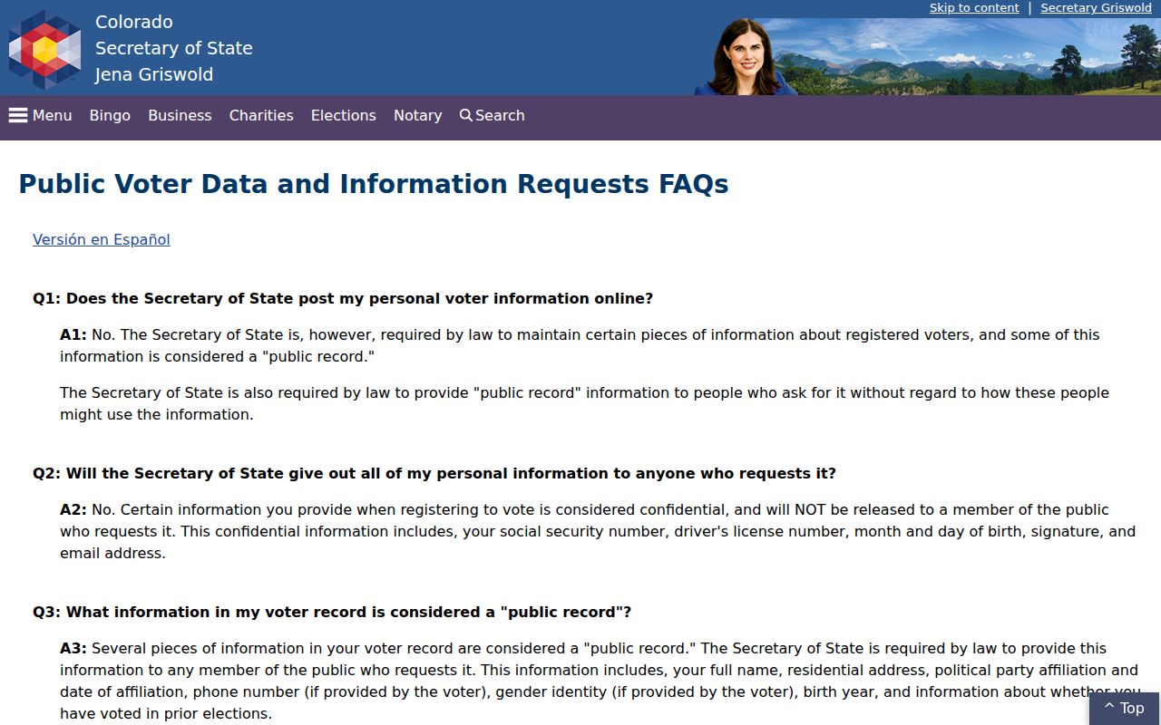
That split limits what a block-level record can say and protects people whose records qualify for confidentiality.
The public self-lookup is not a browse-by-street directory. It asks for first name, last name, ZIP, full birthday, and CAPTCHA. Confidential voters and some people under 18 may not appear, and a moved voter may need a last known ZIP.
Fort Collins Voter Data Requests
A formal block question belongs with the Colorado voter-file request forms or Larimer Elections, not an improvised list of nearby names. The forms distinguish county, municipal, and special-district requests. They collect requester identity, contact information, county or municipality, election details, and a secure-use acknowledgment. Temporary staff access normally expires after 90 days.
The Colorado voter-file request route shows the controlled form process for a Fort Collins block or election-data request.
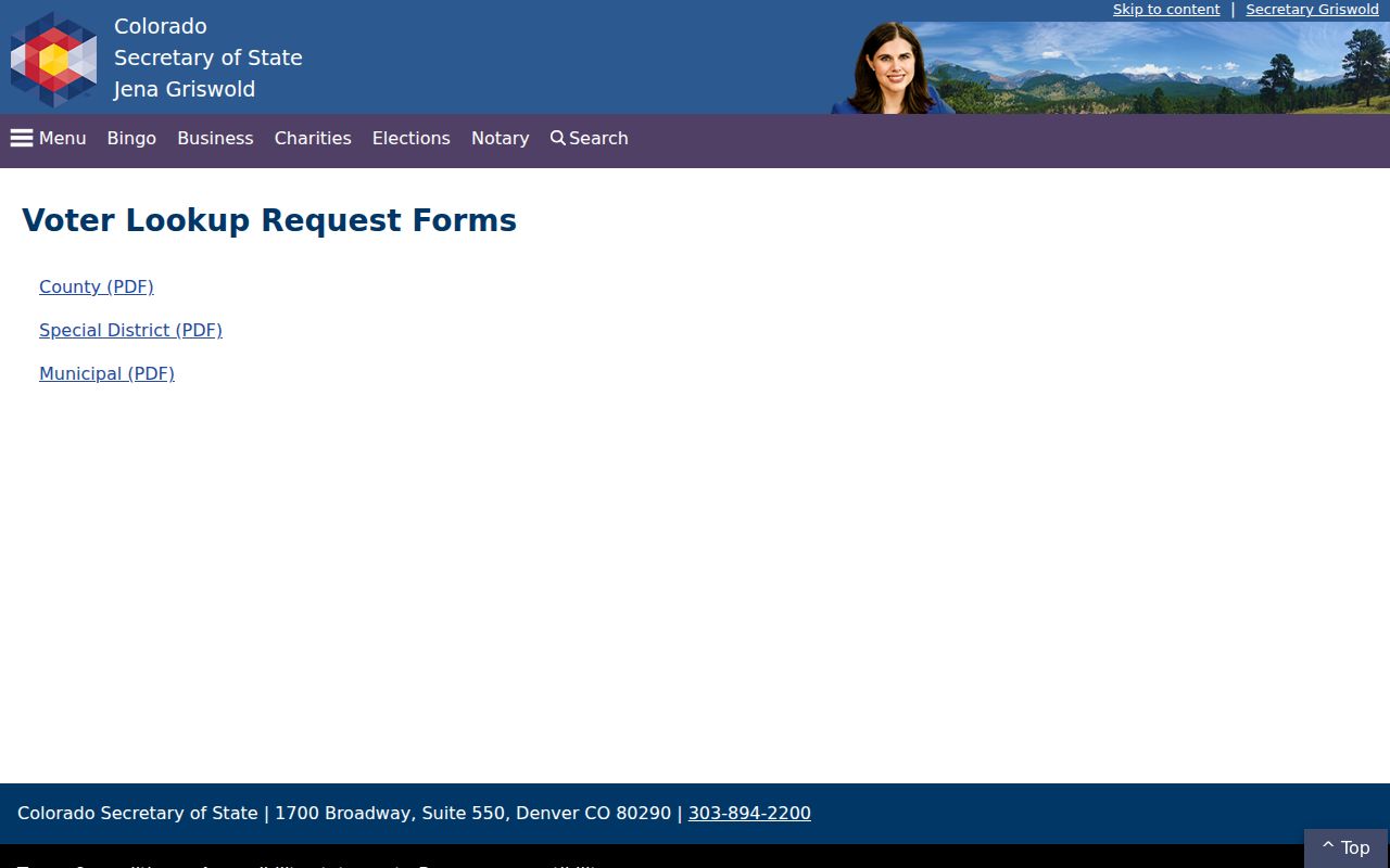
Current SOS materials list individual reports at $50 and an election-cycle subscription at $1,000, subject to the current schedule. Confirm the cycle, purpose, fee, and delivery terms before requesting data.
Larimer Elections is at 200 W Oak Street, Suite 5100, Fort Collins, with 970-498-7820 and elections@larimer.gov. Mail and PDF routes include the local confidentiality form. The office's election statistics and precinct maps are useful for aggregate context, not for naming every person on a block.
Fort Collins Neighborhood Contacts
Community sources answer a different neighbor question: how to reach a neighborhood program or association. The city Neighborhood Services page describes HOA and neighborhood support, nuisance and Access Fort Collins routes, neighborhood meetings, and mini-grants commonly ranging from $150 to $1,000. Next-Level Neighborhoods makes all Fort Collins neighborhoods eligible and describes leaders and quarterly activities. Neither source publishes a guaranteed current member roll.
The Fort Collins neighborhood and HOA information page provides public contact and participation routes for a block without exposing a private membership list.
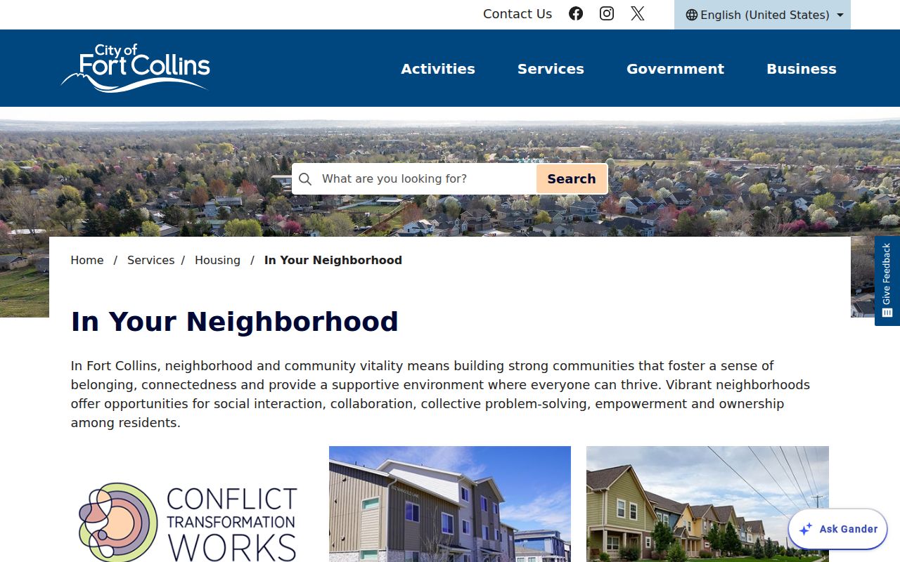
Use the city route or an association's own public contact channel when a community question needs a human answer. Map layers and assessor records are online; county map and recording stations, Larimer Elections at the counter, phone or email contacts, and library history are in-person or assisted alternatives. A narrow Fort Collins public-records request can seek a city permit, code, or map record that is not downloadable, while a county request handles a non-downloadable county layer.
| Resource | Verified use | Roster limit |
|---|---|---|
| City Neighborhood Services HOA information | Support, meetings, grants, and contact routes | No public member roll found |
| Next-Level Neighborhoods | Leaders, activities, and neighborhood participation | Program layer, not a resident directory |
| City Neighborhoods Map | Names and geographic placement | Map metadata says last updated August 27, 2018 |
| HOA GIS layer | Geographic association context | No comprehensive current member directory |
The 2018 Fort Collins Neighborhood Map
The City Neighborhoods Map is a geographic index, not a current association roll. Its dataset metadata lists an August 27, 2018 update, while current FCMaps supplies newer municipal layers for parcels, annexations, city limits, precincts, districts, and neighborhoods. A Fort Collins block note should record which map and date supplied the boundary.
Downtown, East Mulberry, Mountain View, Northside, Northwest, Old Town, and West Central appear in the city plan index as plan or subarea geographies. They are useful search labels, but they are not guaranteed HOA boundaries. Pair a named area with the city map, county parcel geometry, and the association's own public contact route.
Fort Collins Records Versus Neighbor Tools
Commercial neighbor tools may combine address histories from many sources, but the result can be stale, incomplete, or hard to trace. Official records are narrower and slower, yet each row has a custodian, a date, and a defined field set. Choose the source by the question rather than treating either category as a complete list of Fort Collins neighbors.
| Source type | Strength | Limit |
|---|---|---|
| County GIS and Assessor | Parcel geography and recorded property fields | Does not show every occupant |
| Recorder index | Deeds, parties, legal descriptions, and dates | Ownership transfer is not presence at the parcel |
| Voter file | Defined public registration fields under state rules | Self-lookup is person-specific; protected records are withheld |
| Commercial compilation | May gather many historic address clues in one view | Accuracy, source dates, cost, and lawful use can vary |
Fort Collins Neighbor Lookup Limits
A parcel map can show an adjacent polygon, but public records do not create a complete roster of the people who live there. Household members, utility accounts, delivery records, and vehicle records are not public substitutes. An assessor mailing address may belong to an entity, trust, estate, or representative and may be far from the situs parcel.
Colorado's Address Confidentiality Program provides a substitute address and mail forwarding for covered survivors. Larimer also has a voter-record confidentiality form for certain protected professions, first responders, and people facing harassment or bodily-harm risk. Protection applies to the voter record only. It does not erase an independently recorded deed, court filing, or city document.
Lawful use. Fort Collins neighbor lookups belong in ordinary block awareness, reconnecting, civic curiosity, and personal safety planning. Do not use records to watch, harass, intimidate, or harm a person.