
Fort Collins ZIP Coverage at a Glance
Fort Collins has a postal footprint that reaches beyond a clean city polygon. Larimer research uses nine ZIP entries as an analytic approximation, while the archived USPS L606 scheme groups Fort Collins postal labels into 80521-80524, 80525-80528, and 80553. The table keeps those findings qualified. A Fort Collins ZIP code directory can describe a delivery group, but only an address-specific USPS result can settle the mail route.
| ZIP | Areas Covered | Post Office | Notes |
|---|---|---|---|
| 80521 | Central and downtown examples | Fort Collins CO group | Postal range, not a city-limit map |
| 80522 | County PO Box and government mailing examples | Fort Collins CO group | Institutional and PO-box use appears |
| 80523 | Colorado State University mailing examples | Fort Collins CO group | Campus context can differ from home delivery |
| 80524 | Downtown and central examples | Fort Collins CO group | Assessor sample uses a 80524 address |
| 80525 | Southern and eastern examples | Fort Collins CO group | Verify each delivery point |
| 80526 | Southwestern and western examples | Fort Collins CO group | Neighborhood meaning is approximate |
| 80527 | Larimer analytic Fort Collins coverage | Fort Collins range group | Current USPS city response was not captured |
| 80528 | Southeast and eastern analytic coverage | Fort Collins range group | Program sources also list Windsor |
| 80553 | Fort Collins postal-range entry | Fort Collins range group | Use USPS before assigning a local area |
None of these rows should be read as a complete resident list. The county profile labels the group an approximation, and the archived postal table shows dispatch grouping rather than municipal authority. That distinction matters when a Fort Collins ZIP search points toward Windsor, a campus mail stop, or a county address outside Fort Collins.
Search a Fort Collins ZIP
Fort Collins ZIP-keyed research works best as a sequence. The Larimer Assessor accepts a ZIP filter, but returns property records and owners tied to parcels, not everyone at an address. The county GIS viewer adds parcel and address geography. Colorado's voter self-lookup uses ZIP as a match field, yet it is a personal check that requires a name and full birthday. A formal voter-file request follows separate rules and cannot be treated as a casual ZIP-wide browse.
- Confirm the delivery ZIP with USPS, using the address, city, state, and unit when available.
- Run the Larimer Assessor ZIP filter, narrow by city or subdivision, and save the parcel or account number.
- Open the county Land Information GIS viewer to compare parcels, addresses, subdivisions, districts, and city geography.
- Use the Colorado voter lookup only for an eligible person-specific match, or follow the Secretary of State request form for an authorized public report.
- Move from the ZIP to a named street when the question becomes address-specific; the Fort Collins street directory handles that narrower chain.
The fallback for a Fort Collins records question is a written request. City or county CORA staff can identify which custodian holds an address layer or historical decision when no public ZIP tool answers the question. Give the custodian a date range, address or parcel, record type, and preferred delivery method.
Fort Collins ZIP Code and City Limits
A ZIP code is a mail-delivery area. Fort Collins city limits are a municipal boundary. A situs address is the physical parcel location, while a mailing address is where an owner receives tax correspondence. Those terms need to stay distinct when a ZIP code directory result is carried into the Assessor, GIS, voter, or CORA workflow.
- ZIP versus ZIP+4
- A ZIP code is the five-digit delivery area; ZIP+4 adds a more exact delivery segment for a route or building.
- PO-box ZIP
- A postal number used for box or institutional mail can appear in county or campus records without describing a street parcel.
- Unique ZIP
- A number assigned to one organization or large institution is not a normal neighborhood boundary.
- Carrier route
- A delivery sequence inside a ZIP helps the Postal Service sort mail; it is not a public roster of households.
Lawful use. ZIP, parcel, and voter records support personal research and civic understanding. Do not use a Fort Collins ZIP result to stalk, harass, intimidate, or harm anyone.
Nine ZIPs in the Fort Collins Snapshot
The nine-entry count comes from Larimer County's 2025 Northern Colorado labor-market profile, which approximates Fort Collins with 80521, 80522, 80523, 80524, 80525, 80526, 80527, 80528, and 80553. It is useful for analysis, not proof of a postal boundary. The same research notes that 80522 and 80523 can carry county, PO-box, or CSU uses, while 80553 needs an address-level check.
That number also explains why a Fort Collins ZIP code directory should not assign a neighborhood to every row. A ZIP may be a delivery route, an institutional mail group, or a shared postal label. Keep the source date and the question beside the result: mail delivery, parcel geography, city limits, and resident records each use a different key.
Note: A ZIP count is a routing summary, not a count of Fort Collins households, parcels, or current residents.
Fort Collins Assessor ZIP Filters
The Larimer Assessor property search is the strongest local ZIP filter for Fort Collins. It offers a ZIP dropdown, a ZIP map button, and other limits that keep a broad query below the first-500-result ceiling. Use the result as a parcel anchor. It can show owner name, account, parcel, occupancy description, address, city, ZIP, tax district, actual value, and detail tabs for general, building, tax, map, and comparable information. Assessor help is listed at 970-498-7050.
The Larimer Assessor residential search shows the ZIP and property filters used when a Fort Collins ZIP needs a narrower property comparison.
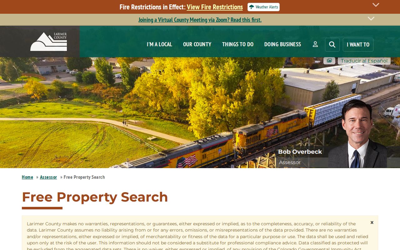
The screen is a Fort Collins property-search aid. It does not turn an assessor ZIP result into a list of every person living within that delivery area.
| Assessor field | How it helps a ZIP search |
|---|---|
| ZIP Code | Choose All Zip Codes or a current ZIP option; a map control is available. |
| City | Choose FORT COLLINS to reduce postal-area overlap. |
| Address number from/to | Limit a ZIP result to a street segment. |
| Street name | Omit direction and suffix as the field instructions direct. |
| Subdivision name or number | Use a three-letter minimum for a subdivision name, or the number. |
| Sold in the last | Choose any date or a one-to-five-year window. |
Fort Collins ZIP 80528 Check
80528 is the clearest Fort Collins ZIP mismatch in the research. County program material lists Fort Collins and Windsor under 80528, while the analytic profile includes it in Fort Collins coverage. That does not mean every 80528 address is inside either city's limits. It means the postal label crosses a question that belongs to the city or county map.
For one address, use the Larimer city-limits address check, which returns the address, city, city-limits result, and emissions information. Then compare City FCMaps layers for parcels, annexations, neighborhoods, and limits. A postal city printed for delivery remains a mail instruction, not a ruling on Fort Collins jurisdiction.
Boundary check. Treat 80528 as a prompt to verify the parcel, municipality, and custodian before routing a Fort Collins records request.
Fort Collins Campus and PO-Box ZIPs
80522 and 80523 deserve special care in Fort Collins. Research notes tie 80522 to county PO Box and government mailing examples and 80523 to Colorado State University mailing examples. A campus mail address can point to an institution or department rather than a street parcel. A county mailing address can identify the place to send a form without identifying a physical home.
Use the postal lookup for the delivery question, the Assessor for a taxable situs, and CSU or county records only when the person or organization has a clear connection. A ZIP code directory can show why the labels appear in Fort Collins sources, but it should not collapse campus, PO-box, and street records into one household result.
Fort Collins USPS ZIP Modes
The USPS ZIP Code Lookup has three modes for a Fort Collins delivery question. By Address is the right test for a known delivery point. By City and State returns a city-level list, while Cities by ZIP works from the postal number. USPS also warns that a result does not confirm a person's or company's residence.
| USPS mode or field | Use |
|---|---|
| By Address | Enter street address, unit, city, state, and optional ZIP to verify a delivery point. |
| By City and State | Enter city and state to see the postal list for that name. |
| Cities by ZIP | Enter a ZIP to see associated postal city names. |
| Apt/Suite/Other | Add the unit when a building or campus delivery point requires it. |
The USPS lookup page displays the By Address, By City and State, and Cities by ZIP routes used to verify a Fort Collins ZIP code directory entry.
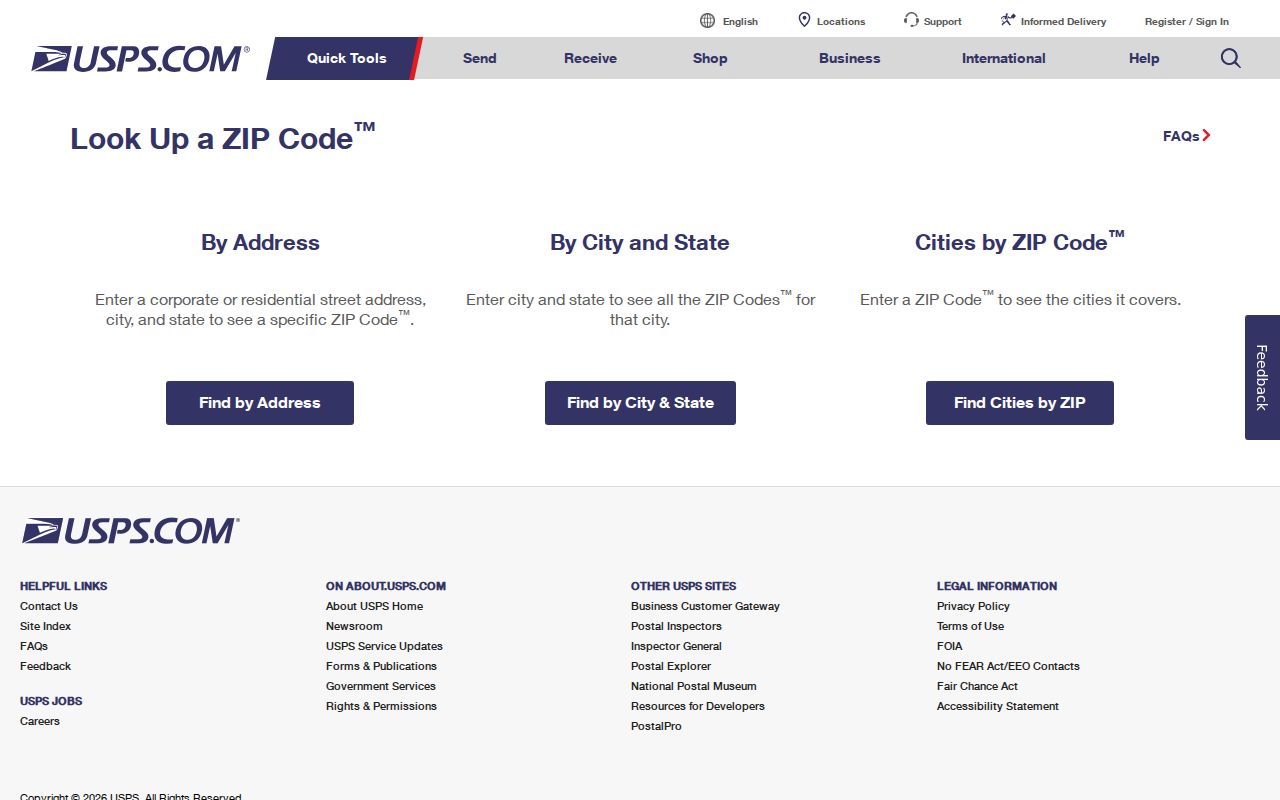
That separation keeps a postal-city result from being mistaken for the Fort Collins city line or a Fort Collins resident record.
Fort Collins Addressing After 2025
Larimer County's new Road Naming and Site Addressing Resolution was adopted in September 2025. The current project addresses duplicate or similar road names, unnamed private drives, odd-even problems, and nonsequential numbers. County Addressing can be reached at Larimeraddressing@larimer.gov or 970-498-5022. Its process assigns a site address for a property or tax parcel, not a mailing address.
For a close Fort Collins city-line case, verify the address with USPS, the county city-limits tool, and City FCMaps. For a historical Fort Collins case, preserve the older street spelling, legal description, directory year, and parcel number. A Fort Collins public-records request or county CORA request can fill a gap when an addressing decision or layer is not online. Those routes, plus in-person county map and recorder stations, phone or email contacts, and library history help, are the documented fallback chain for a hard ZIP question.